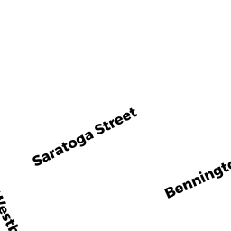
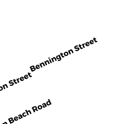
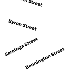
Bennington ST
Owner Information
MASS BAY TRANSP AUTH
BENNINGTON
EAST BOSTON, MA 02128


Property Details
Bennington ST is classified as a Improved Municipal or Public Safety, Other City or Town.
There are 1ft2 of built area within this property. There is 1ft2 of residential/living space within this property.
Bennington ST is valued at $33,700. The land is valued at $10,700 and the structures are valued at $200. There is an additional valuation of $22,800 on this property.
Bennington ST was last sold on Thursday, January 1, 1987 for $0.
Assessment data from fiscal year 2020.
Flood Data
This property is partially within the AE Zone (within floodplain). Approximately 0.0 acres (99.32%) of the property is within this zone.
The base flood elevation for this flood zone is 10 feet.
This information is sourced from the FEMA National Flood Hazard Layer. See our full disclamer.
Broadband Internet Providers
| Provider | Type | Bandwidth (mbps) | |
|---|---|---|---|
| HughesNet | Satellite | 25 | 3 |
| Starry, Inc. | Fixed Wireless | 200 | 200 |
| Comcast | Cable | 1000 | 35 |
| Verizon New England Inc. | Fiber | 940 | 880 |
| VSAT Systems, LLC. | Satellite | 2 | 1 |
| Viasat Inc | Satellite | 100 | 3 |
| Verizon New England Inc. | DSL | 15 | 1 |
| GCI Communication Corp. | Satellite | 0 | 0 |
Broadband service provider data from December 2020.
Adjacent Properties
- Cowper ST
Improved Municipal or Public Safety, Other City or Town owned by MASS BAY TRANSP AUTH - Bennington ST
Improved Municipal or Public Safety, Other City or Town owned by CITY OF BOSTON - 759 Bennington ST
Two-Family Residential owned by HOUSNI AZZOUZ - 755 Bennington ST
Two-Family Residential owned by OBRIEN EDWARD R - HORACE ST
Accessory Land with Improvement owned by MANNING MATTHEW